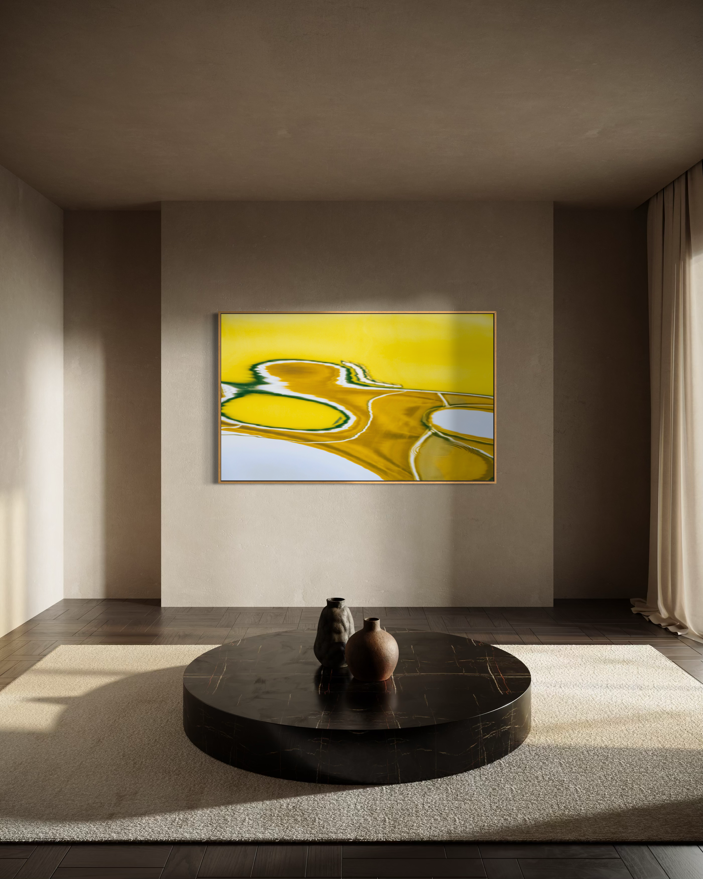
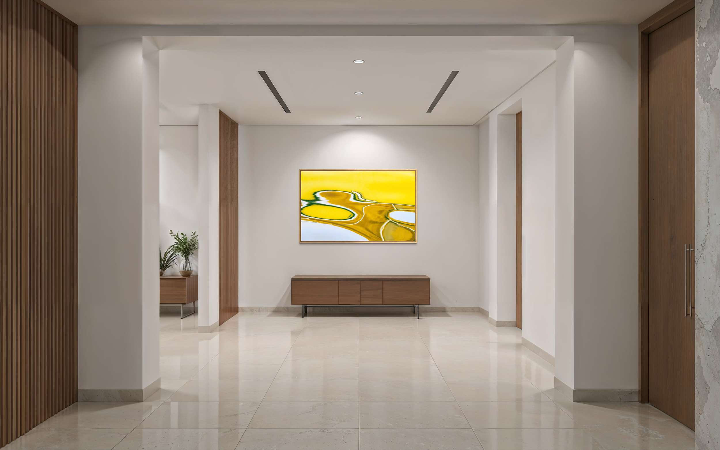
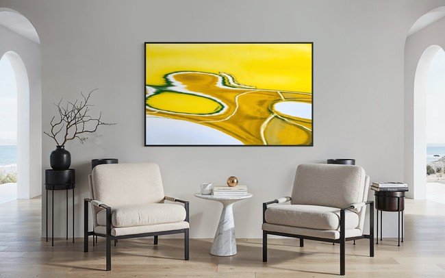
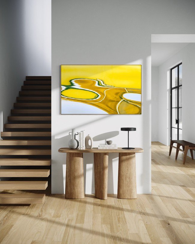
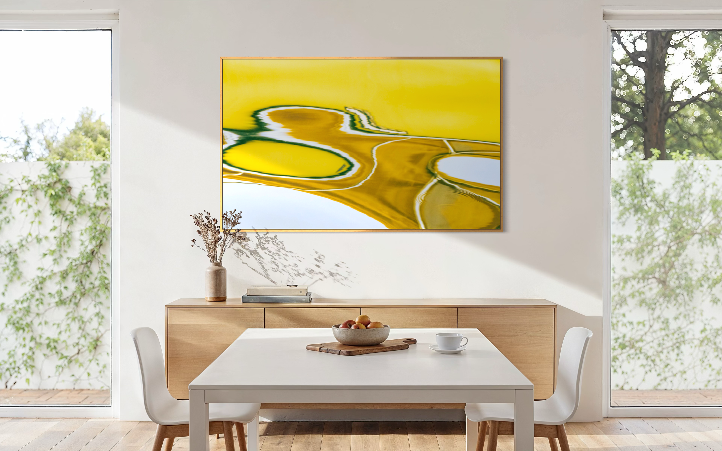
Water Map 1 — A Map Made by Water
Water Map 1 110 × 180cm
“I think about the country where I was walking and camping, all the main water holes, all the camping areas… and I follow them up with my painting.”
— Freddie Timms, East Kimberley artist
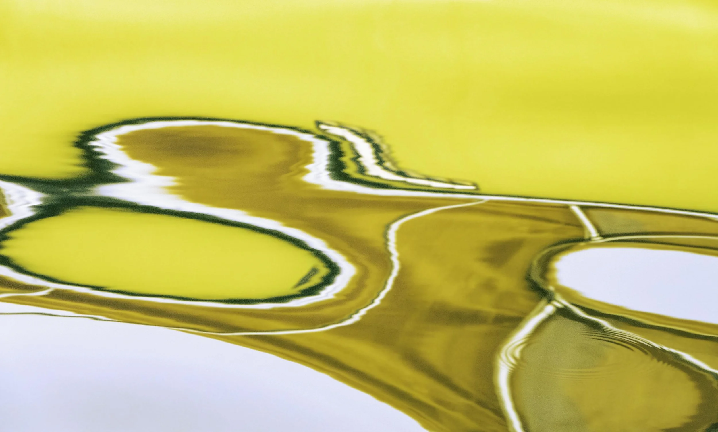
When I first looked at Water Map 1, I did not immediately see water.
I saw sand. I saw an aerial field. I saw something that appeared to have been remembered rather than photographed.
This new work belongs to both my Offshore Aerial Collection and my Sand Talk Collection, and perhaps that is why it captured my creative focus in such a compelling way. It began, as usual, as a photograph of reflections on the surface of water. Yet the final image seemed to have travelled somewhere else. It no longer behaved only as water. It appeared as terrain, as if a moving surface had opened into a map.
What struck me first was the space in the work. The simplicity of the central form. The way the surrounding field holds it quietly, without crowding it. The centre of the image feels spare, but not empty. It has weight. It has presence. It sits inside the work like a place.
Almost immediately, I thought of the great East Kimberley painters: Paddy Bedford, Freddie Timms, Rover Thomas, Queenie McKenzie, Shirley Purdie, and the Warmun/Turkey Creek artists whose work transformed Australian painting. Their paintings can appear deceptively simple at first glance: large areas of ochre, strong forms, restrained composition, vast spaces. Yet within that apparent simplicity is country, memory, movement, ceremony, history and story.
I do not pretend to fully understand the emergence of Kimberley painting, but I have long been moved by the way it carries a view of land that seems both grounded and aerial. Freddie Timms’ paintings are often discussed as aerial maps of the Country he knew through walking, camping, mustering and living. His statement about remembering waterholes, camping areas and places of work speaks directly to the way painting can become a form of following — not inventing a place, but returning through memory to where one has been.
Shirley Purdie offers another statement that stopped me because of its connection to photography. She has said: “When you paint you can remember that Country, just like to take a photo, but there’s the Ngarranggarni (Dreaming) and everything.” That phrase — just like to take a photo — is extraordinary. It makes a bridge between image, memory and Country, while also making clear that the image is not merely visual record. It holds story, spirit, inherited knowledge and lived experience.
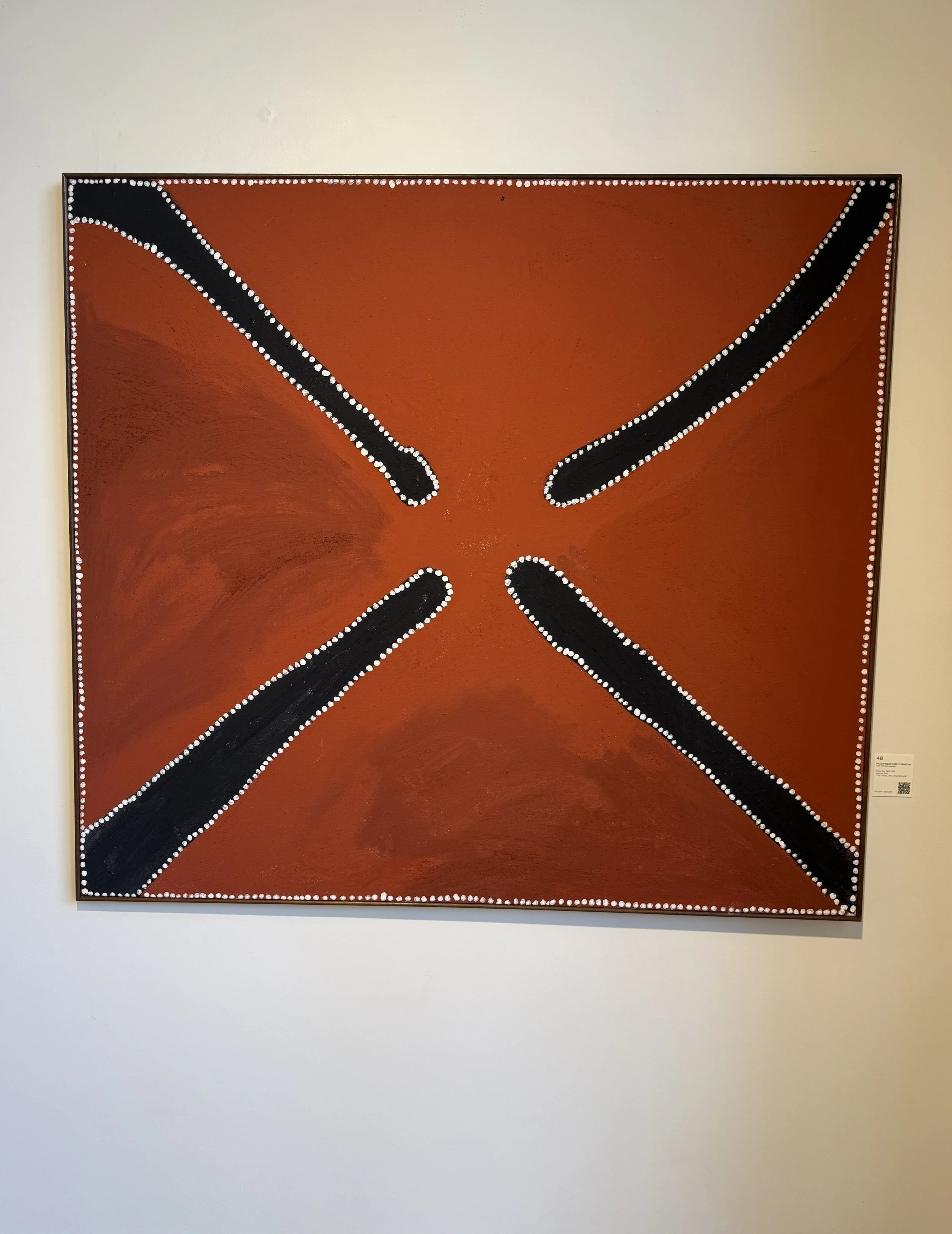
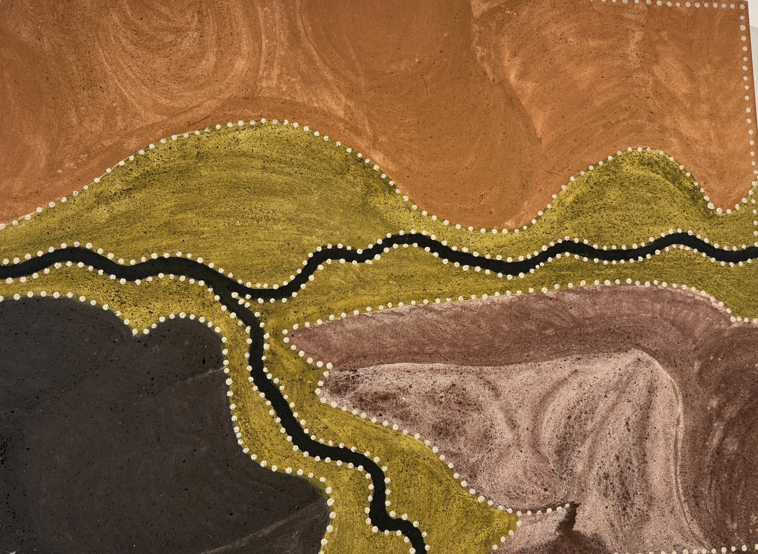
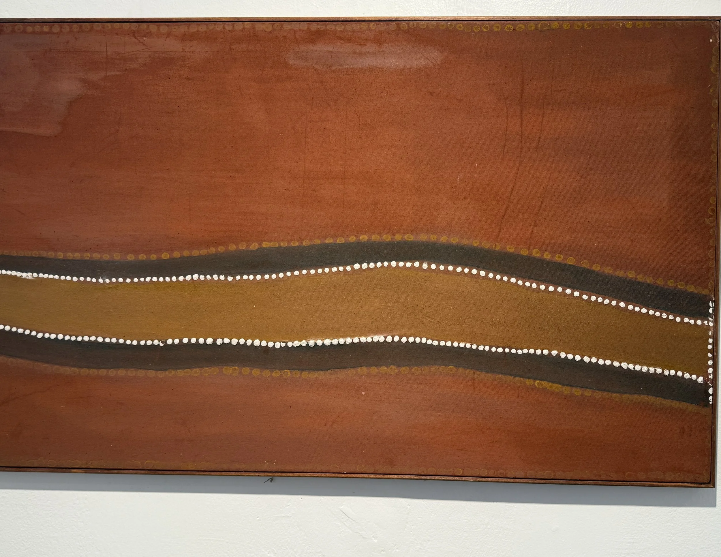
Examples of Kimberley art from Freddie Timms, Shirley Purdie and Rover Thomas (l-r)
When I looked at Water Map 1, I felt an unexpected connection to those statements. Not as a claim to Indigenous knowledge, and not as an attempt to make Indigenous art. Rather, I felt a recognition in the idea that an image can become more than the thing it first appears to depict.
My photograph began as water. Yet it appeared as sand. It was taken through close observation, yet it felt as though it had been seen from above. It was a reflection, yet it opened into something like terrain. In that moment, the artwork seemed to sit between surface and depth, between looking down and looking over, between water below me and an aerial perception above me.
In the late 1990s, I was fortunate to spend time working on a cultural project connected to Indigenous ritual and creative practice. Being on Country and being exposed to the visual languages of Central Desert painting began to shift my understanding of what painting could be. I started to understand, however modestly, that these works were not simply images of land. They were ways of holding land, knowing land, remembering land and seeing the world.
What astonishes me still is that both Central Desert and East Kimberley painting often seem to contain an aerial perception long before the aerial image became part of ordinary visual culture. They appear to rise above the land while remaining profoundly inside it.
That is the feeling that returned to me through Water Map 1.
There is also, for me, a strange sense of ascent and descent in the work. I am looking down into water, yet the image seems to lift me upward into an aerial field. I am photographing a surface, yet the result feels as if it has emerged from beneath the surface. Water becomes sand. Reflection becomes map. Abstraction becomes a place of recognition.
This is why Water Map 1 feels like a new threshold in the Sand Talk Collection, while also belonging naturally to the Offshore Aerial Collection. It is an offshore image that behaves like inland memory. It is water that seems to remember land.
I am interested to know whether others sense this too.
Do you see water, sand, aerial Country, or something in between? Does the work carry, for you, an echo of Kimberley painting — not in imitation, but in spaciousness, restraint and the feeling of a map seen from above?
For me, Water Map 1 is not a map of water.
It is a map made by water — and perhaps, more truthfully, a map made by looking long enough for water to become memory.